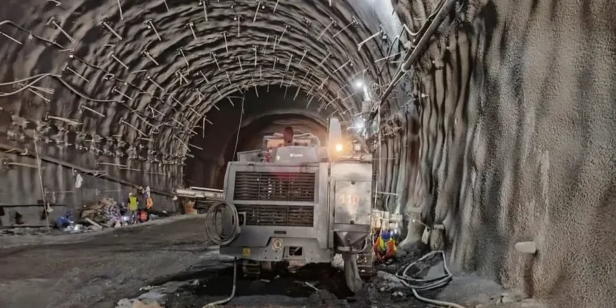
The soil profile beneath Blackpool's Promenade bears little resemblance to the stiff boulder clay found inland near Stanley Park. A site on the seafront deals with loose, wind-blown sand and a high, tidally influenced water table. A few hundred metres east, you hit glacial till. That sharp transition demands a monitoring approach tailored to each excavation, not a generic plan dropped in from Manchester. Vibration limits, groundwater drawdown, and lateral movement all behave differently between these two zones. Our team logs these responses continuously, referencing the CPT test to refine the ground model as the dig progresses, and deep excavation engineering principles to verify support pressures when working close to existing Victorian infrastructure.
Continuous monitoring doesn't just flag danger; it provides the data to justify lighter support systems, directly cutting project cost.
Our approach and scope
Local geotechnical context
BS EN 1997-1:2004, together with the UK National Annex and CIRIA C760, frames the observational method as the backbone of safe excavation. In Blackpool, this framework is not optional. Loose dune sands are prone to running conditions when the water table is breached. Glacial till, while stiffer, holds perched water that surprises contractors. A standpipe failing to detect a perched layer can lead to a blow-out at the toe. We set amber and red triggers for pore pressure and wall deflection before the first bucket enters the ground. If red is approached, work stops until the design is reviewed. This protocol has prevented face collapse on more than one occasion along the Fylde coast, keeping operatives safe and programme delays to a minimum.
Applicable standards
BS EN 1997-1:2004 (Eurocode 7: Geotechnical design), BS EN 1997-2:2007 (Ground investigation and testing), CIRIA C760 (Guidance on embedded retaining wall design), BS 8574:2014 (Geotechnical data management)
Complementary services
Real-Time Instrumentation
Automated inclinometer strings, vibrating wire piezometers, and robotic total stations feeding a web dashboard. Alerts by SMS and email the moment a trigger is breached.
Manual Survey & Reporting
Weekly optical survey of settlement points and tilt plates, presented as a concise report with trend graphs. Ideal for smaller commercial excavations in Blackpool's town centre.
Trigger & Contingency Planning
Design of amber and red alert thresholds based on finite element analysis of the excavation sequence, including a clear, pre-agreed action plan for each trigger level.
Typical parameters
Frequently asked questions
What does geotechnical excavation monitoring typically cost in Blackpool?
For a typical commercial excavation in Blackpool, monitoring programmes range from £700 for a short-term manual survey package to around £2,150 for a fully automated, real-time system over several weeks. The final figure depends on the number of instruments, monitoring frequency, and reporting requirements.
Which instruments are required for a monitoring plan?
The instrument suite depends on the ground conditions and adjacent structures. Common tools include inclinometers to measure lateral wall movement, vibrating wire piezometers for pore-water pressure, and precise leveling points for surface settlement. In Blackpool's sandy soils, piezometers are particularly critical to confirm dewatering is working as assumed.
How quickly can you start monitoring once mobilised?
Baseline readings are taken immediately after installation and commissioning, which is typically completed within one to two days on site. Real-time data flows to the project team from that point onward, with the first formal review usually scheduled within 72 hours.
What happens if a monitoring trigger level is breached?
The observational method defined in BS EN 1997-1:2004 governs the response. An amber trigger means the frequency of readings increases and the design team reviews the data within 24 hours. A red trigger halts excavation in the affected zone until the cause is understood and a revised support sequence is agreed upon, ensuring safety is never compromised.